
-
×
![[CrocoBlock] JetTabs – Tabs and Accordions for Elementor Page Builder](https://gpldokan.com/wp-content/uploads/2022/05/Jettab-247x247.png) [CrocoBlock] JetTabs – Tabs and Accordions for Elementor Page Builder
1 × ৳149.00
[CrocoBlock] JetTabs – Tabs and Accordions for Elementor Page Builder
1 × ৳149.00 -
×
 WordPress Ultimate CSV & XML Importer Pro
1 × ৳149.00
WordPress Ultimate CSV & XML Importer Pro
1 × ৳149.00 -
×
[ACF] Advanced Custom Fields Pro
1 × ৳149.00
-
×
[Lifetime Key] Ultimate Addons For Elementor
2 × ৳499.00
-
×
Newspaper - News & WooCommerce WordPress Theme
1 × ৳149.00
-
×
[CrocoBlock] JetPopup – Popup Addon for Elementor
1 × ৳149.00
-
×
Rank Math Pro [Agency] - Top #1 WordPress SEO Plugin
1 × ৳149.00
-
×
Flatsome | Multi-Purpose Responsive WooCommerce Theme
1 × ৳149.00
-
×
Elements Kit – The Ultimate Addons for Elementor Page Builder
1 × ৳149.00
-
×
[CrocoBlock] JetBlocks For Elementor
1 × ৳149.00
-
×
UpdraftPlus Premium
1 × ৳149.00
-
×
iThemes Solid Security Pro
1 × ৳149.00
-
×
[Lifetime Key] The Plus Addon For Elementor
1 × ৳499.00
-
×
Yoast SEO Premium
1 × ৳149.00
-
×
Wordfence Security Premium
1 × ৳149.00
-
×
Integrate Google Drive PRO
1 × ৳149.00
-
×
[Lifetime Key] Schema Pro
1 × ৳499.00
-
×
[CrocoBlock] JetElements Addon for Elementor
1 × ৳149.00
 WordPress Ultimate CSV & XML Importer Pro
 ![[ACF] Advanced Custom Fields Pro](https://gpldokan.com/wp-content/uploads/2022/05/Advanced-Custom-Fields-Pro-247x247.png) [ACF] Advanced Custom Fields Pro
[ACF] Advanced Custom Fields Pro ![[Lifetime Key] Ultimate Addons For Elementor](https://gpldokan.com/wp-content/uploads/2023/04/ultimate-addons-for-elementor.png) [Lifetime Key] Ultimate Addons For Elementor
[Lifetime Key] Ultimate Addons For Elementor  Newspaper - News & WooCommerce WordPress Theme
 ![[CrocoBlock] JetPopup – Popup Addon for Elementor](https://gpldokan.com/wp-content/uploads/2022/05/JETpopup-247x247.png) [CrocoBlock] JetPopup – Popup Addon for Elementor
[CrocoBlock] JetPopup – Popup Addon for Elementor ![Rank Math Pro [Agency] - Top #1 WordPress SEO Plugin](https://gpldokan.com/wp-content/uploads/2022/05/RankMathPro-247x247.png) Rank Math Pro [Agency] - Top #1 WordPress SEO Plugin
Rank Math Pro [Agency] - Top #1 WordPress SEO Plugin  Flatsome | Multi-Purpose Responsive WooCommerce Theme
  Elements Kit – The Ultimate Addons for Elementor Page Builder
 ![[CrocoBlock] JetBlocks For Elementor](https://gpldokan.com/wp-content/uploads/2022/05/JetBlocks-247x247.png) [CrocoBlock] JetBlocks For Elementor
[CrocoBlock] JetBlocks For Elementor  UpdraftPlus Premium
  iThemes Solid Security Pro
 ![[Lifetime Key] The Plus Addon For Elementor](https://gpldokan.com/wp-content/uploads/2022/09/The-Plus-Addon-for-Elementor-Page-Builder-WordPress-Plugin-247x247.jpg) [Lifetime Key] The Plus Addon For Elementor
[Lifetime Key] The Plus Addon For Elementor  Yoast SEO Premium
  Wordfence Security Premium
 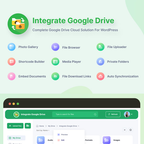 Integrate Google Drive PRO
 ![[Lifetime Key] Schema Pro](https://gpldokan.com/wp-content/uploads/2023/04/schema-pro.jpg) [Lifetime Key] Schema Pro
[Lifetime Key] Schema Pro ![[CrocoBlock] JetElements Addon for Elementor](https://gpldokan.com/wp-content/uploads/2022/05/Jetelements-plugin-247x247.png) [CrocoBlock] JetElements Addon for Elementor
[CrocoBlock] JetElements Addon for Elementor 
Best GPL Store for WordPress Themes & Plugins
GPL Dokan provides Elementor Pro, ACF, Rank Math Pro, Flatsome, All-in-One WP Migration, UpdraftPlus,
Wordfence, FiboSearch Pro, Polylang Pro, Yoast SEO Premium, and 5000+ themes and plugins.
(If you can't find the product, please message us.)
View more
![[CrocoBlock] JetTricks for Elementor](https://gpldokan.com/wp-content/uploads/2022/05/Jettricks-247x247.png)

![[Lifetime Key] Solid Affiliate](https://gpldokan.com/wp-content/uploads/2023/06/solid-affiliate.jpg)
![[Lifetime Key] WP Rocket](https://gpldokan.com/wp-content/uploads/2022/05/wp-rocket-plugin-247x247.png)
![[Lifetime Key] Convert Pro](https://gpldokan.com/wp-content/uploads/2023/04/Convert-Pro.jpg)
![[Lifetime Key] Astra Pro](https://gpldokan.com/wp-content/uploads/2022/08/Astra-–-Fast-Lightweight-Customizable-Free-WordPress-Theme-Download-Now--247x247.jpg)
![[Lifetime Key] Imagify](https://gpldokan.com/wp-content/uploads/2023/04/imagify-image-optimization-plugin.jpg)


![[Lifetime Key] EmbedPress Pro](https://gpldokan.com/wp-content/uploads/2023/07/embedpress-pro.jpg)
![[One Year Key] WP Ultimo](https://gpldokan.com/wp-content/uploads/2023/11/wp-ultimo.jpg)
![[Lifetime Key] All-in-One WP Migration – URL Extension](https://gpldokan.com/wp-content/uploads/2023/05/all-in-one-wp-migration-url-extension.jpg)
![[Lifetime Key] All-in-One WP Migration – FTP Extension](https://gpldokan.com/wp-content/uploads/2023/05/all-in-one-wp-migration-ftp-extension.jpg)
![[Lifetime Key] All-in-One WP Migration – OneDrive Extension](https://gpldokan.com/wp-content/uploads/2023/05/all-in-one-wp-migration-onedrive-extension.jpg)